Dynamic System Map Provides More Info

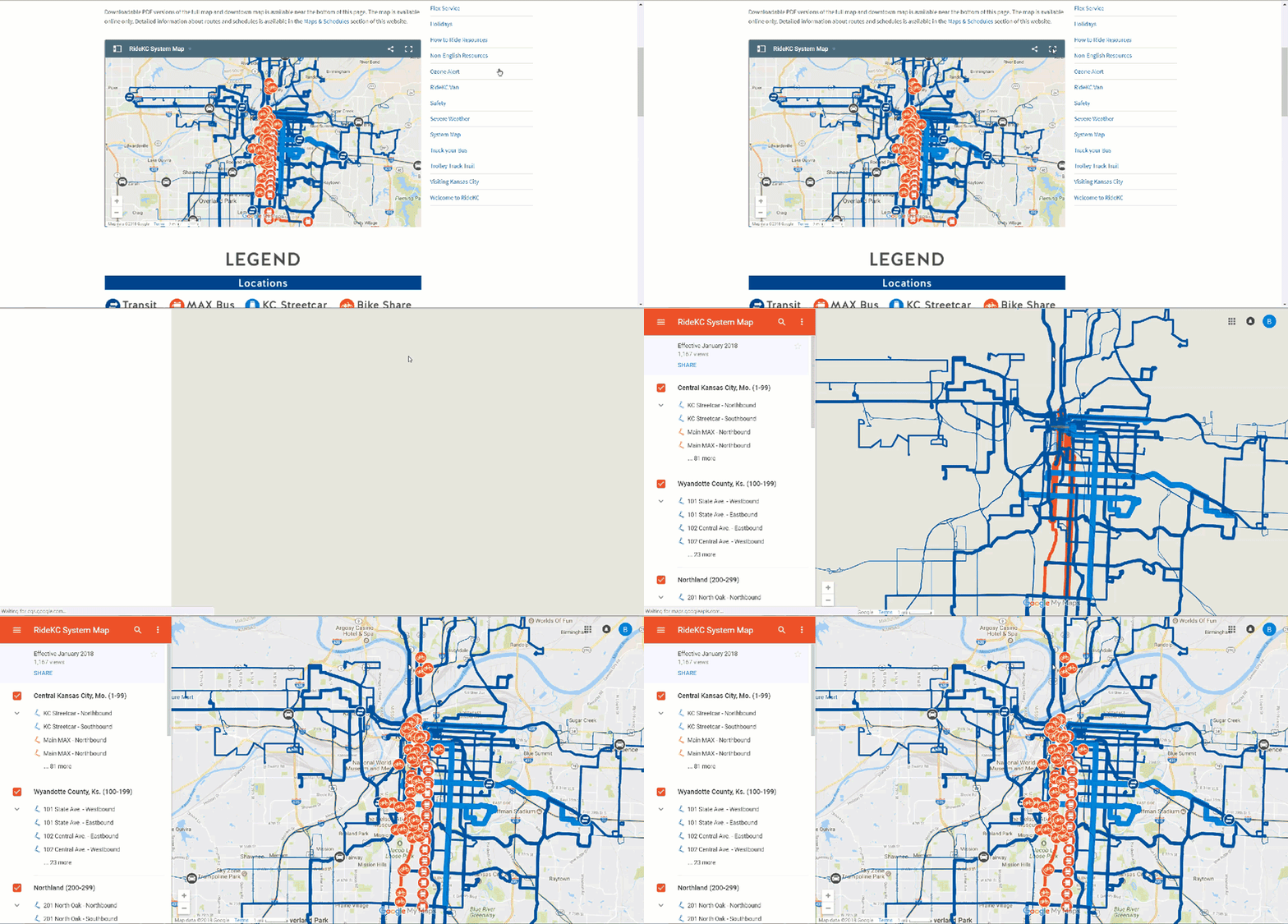
The RideKC system map has gone interactive. A new Google-based map is available on this website.
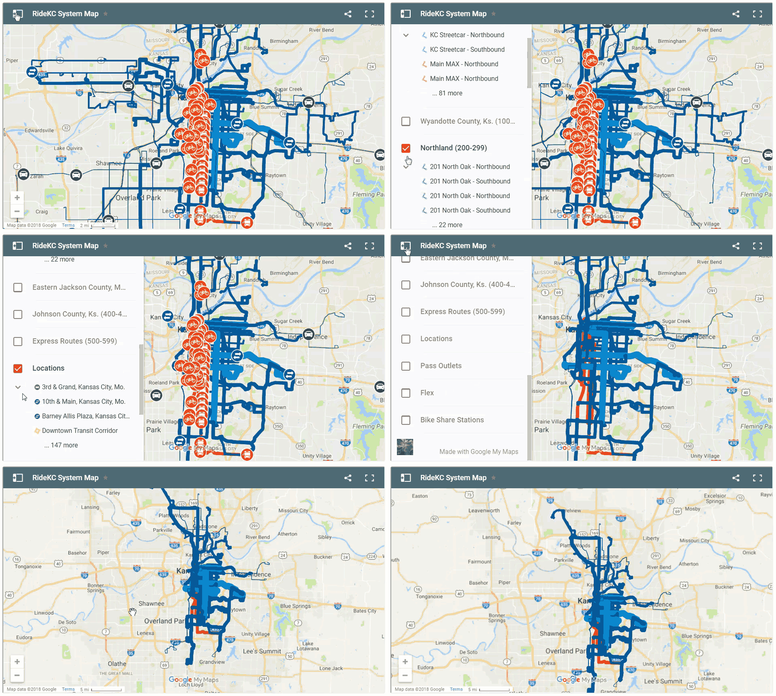
You can select a location, route or boundary in the sidebar to see more information. All the bus routes are there, just like the previous version of the system map. But you can also select bike share stations, park-and-ride lots, or places to buy a bus pass.
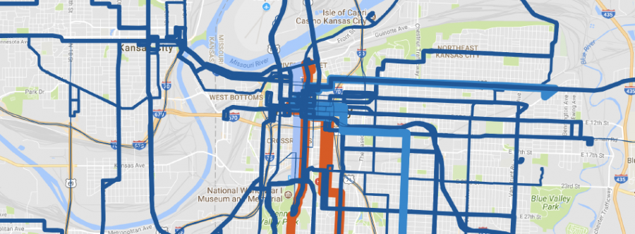
The system map continues to display how frequent a route is, showing routes that run more often with thicker lines. Local and express service are shown with blue lines, and MAX service is red. A legend just below the system map shows more detail.
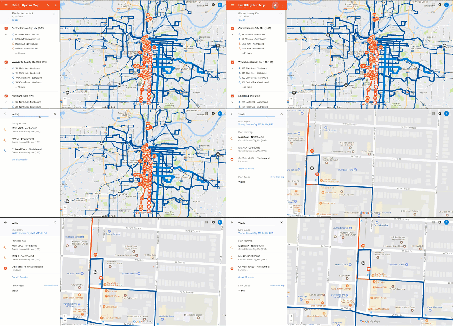
With the Google Maps system map, you can select a single region or multiple regions to see how routes connect. You can search for a store, restaurant or other business and zoom in to see the nearby routes. For a larger view, you can open up the system map in a new window. See below for tips on using these features.
The map also includes:
- Transit centers where multiple routes meet, often with upgraded bus stop facilities
- Main and Troost MAX bus stops with available transfer routes listed
- KC Streetcar stops
- BCycle bike share stations
- Park & Ride lots
- Pass outlets, including with a list of each type of pass you can purchase
- The Downtown Kansas City, Mo. transit corridor
- RideKC Flex route boundaries: Call to request at 816.346.0346
A PDF version is still available for those who prefer that format, or would like to download the file to their computer or smartphone.
If you have a comment, question or suggestion about the system map, please contact us at wehearyou@kcata.org.
Getting started
The View Larger Map button is located in the top right corner of the map. Click that to open the map in a new window.

To see the map legend and select which feature or geographic areas to show, click in the top left corner. Click layers of the map “on” or “off.”

To search for transit service around a business or neighborhood, view the map in the large window. Click the search icon in the map legend and enter the business name.
